2D/3D Digital Underground Map Scanning Service


- 商品番号: OYS100600
- Hersteller Name: OYSTEC
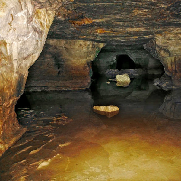
Target Organization: Organizations, institutions or households that want to receive a 3D underground scan of a site, e.g. from the geology or construction industry. Details: We offer 3D underground scans with further analysis of the subsurface of your desired location, which we carry out with our professional device for 3D ground radar. This is often used in archeology, or for underground exploration for building projects, or the localization of tunnels, old corridors, or other underground spaces. Depending on the selected packages, we also provide you with all the information obtained, such as 2D maps, 3D maps (in various degrees of granularity) and an explanation of the underground features found. In addition, we offer you to carry out further research and to associate it with the measurement results. Service Period: Depending on the key figures such as the size of the site to be measured and other requirements / restrictions, between 1 day and 1 week after implementation. Global Delivery Model: Soil scanning must understandably be carried out directly on site. The results will then be evaluated remotely and send to your via email or post. Pricing: Price on request Country and language availability: Germany (German, English) and on request